|
|
| MAP (HeightData *h, OSM *o) |
| | create with SRTM3 class and OSM-data manager
|
| |
|
void | settings (MapSettings *MS) |
| | assigns new settings
|
| |
|
void | resize (int width, int height) |
| | adapts size, recalculate borders from desired borders
|
| |
|
void | set_borders (double latmin0, double latmax0, double lonmin0, double lonmax0) |
| | sets desired borders, recalculate bordes due to window size
|
| |
| void | calc_borders () |
| | desired borders to real borders More...
|
| |
|
void | SRTM3toMAP (short getcmap) |
| | draws the relief
|
| |
|
void | OSMtoMAP (short getcmap, short drawroads, short drawnature, short drawpoints) |
| | draws Open Street Map data
|
| |
|
void | STRONGlayer_to_Map (QPainter *p, STRONGlayer *SL) |
| | draws STRONG calculation network
|
| |
|
void | climblayer_to_map (climblayer *cl) |
| | draws climbs
|
| |
|
void | add_BestClimb_Bar (QPainter *p, climblayer *cl) |
| | projects best climbs to the borders of the picture
|
| |
| void | draw_map (STRONGlayer *SL, climblayer *cl, Track *ct, int fastmode) |
| | universal high quality drawing More...
|
| |
|
void | save_to_png (QString filename) |
| | save map as picture to hard disk
|
| |
|
QPixmap * | get_Map () |
| | return pixmap of the last generated map
|
| |
|
void | draw_line (QPainter *p, KOOlist *k, int kc) |
| | drawing commends from outside
|
| |
|
void | draw_line (QPainter *p, KOO **k, int count) |
| |
|
void | draw_line (QPainter *p, double **k, int count) |
| |
|
void | draw_line (QPainter *p, Track *ct) |
| |
|
int | Draw_lighted_text (QPainter *p, KOO *k, QString *w, QColor *lightcolor, QColor *textcolor) |
| |
|
double | getminlat () |
| | return real borders
|
| |
|
double | getminlon () |
| |
|
double | getmaxlat () |
| |
|
double | getmaxlon () |
| |
|
int | getwidth () |
| |
|
int | getheight () |
| |
|
double | y_to_lat (int y) |
| | map coordinate information
|
| |
|
double | x_to_lon (int x) |
| |
|
double | lat_to_y (double lat) |
| |
|
double | lon_to_x (double lon) |
| |
|
double | xy_to_height (int x, int y) |
| |
| float | zoomsize (float size) |
| |
| double | scale () |
| |
|
float | get_mperlon () |
| |
|
float | get_mperlat () |
| |
|
|
void | add_DEM () |
| | transform heighdata with sun settings into colors
|
| |
|
void | add_contour () |
| | adds contours to relief
|
| |
|
void | htocolorfast (unsigned char *cd, float h, float dxf, float dyf) |
| | function to height to color operation
|
| |
| double | ytolat (int y) |
| |
|
double | xtolon (int x) |
| |
|
float | lattoy (double lat) |
| |
|
float | lontox (double lon) |
| |
|
QColor | colorgradient (float x) |
| | color functions
|
| |
|
QColor | colorgradientSL (float x) |
| |
|
QColor | colorgradientSchading (float x) |
| |
| void | change_intensity (int x, int y, double dI) |
| |
|
void | mult_color (unsigned char *cd, QColor *c) |
| |
|
void | linetomap (OSM *o, QPainter *p, lines **ll, QColor QColor, float linewidth, float minlinewidth) |
| | OSM drawing.
|
| |
|
void | pointtomap (OSM *o, QPainter *p, points **pp, QColor QColor, float size) |
| |
|
void | peaktomap (OSM *o, QPainter *p, points **pp, float min, float max, QColor QColor, float size) |
| |
|
void | waternametomap (OSM *o, QPainter *p, lines **pp, QColor QColor, float size) |
| |
|
void | streetnametomap (OSM *o, QPainter *p, lines **pp, QColor QColor, float size) |
| |
|
void | rivernametomap (OSM *o, QPainter *p, lines **pp, QColor QColor, float size) |
| |
|
void | add_scale (QPainter *p) |
| |
| void | Draw_lighted_text (QPainter *p, QString *w, QPointF P, QColor *lightcolor, QColor *textcolor) |
| | draws text with lighted background More...
|
| |
|
void | Draw_lighted_Path (QPainter *g, QPainterPath *p, QBrush *lightbrush, QBrush *textbrush) |
| |
|
int | Draw_aligned_text (QPainter *g, QPointF *path, int pointcount, QString *w, QPointF P, QBrush *lightbrush, QBrush *textbrush) |
| |
|
void | reset_Template () |
| | clears tamplate
|
| |
|
void | linestoTemplate (lines *f, char val) |
| | edge flag algorithm to draw polyedges
|
| |
|
void | facetoTemplate (lines **ff, char val) |
| | fills areas marked by edge flag algorithm
|
| |
|
void | TemplatetoColorData () |
| |
|
void | set (int x, int y, char val) |
| | edge flag algorithm marking the px(x,y), used by linestoTemplate
|
| |
|
short | check_TemplateSpace (QRectF R) |
| | check R on the picture if free
|
| |
|
void | set_TemplateSpace (QRectF R) |
| | marks R on the picture as occupied
|
| |
|
short | check_TemplateSpace (QRectF R, char l) |
| | check R for l-value on the picture if free
|
| |
|
void | set_TemplateSpace (QRectF R, char l) |
| | marks R as l-value on the picture as occupied
|
| |
|
int | IntSec (QRectF R, char l) |
| | quantifies l-content in r-region
|
| |
|
void | SRTM3ClimbtoMAP (climblayer *cl) |
| | climb layer method: SRTM3 DEM plus shading of climbs
|
| |
|
void | climblayer_schading (climblayer *cl) |
| | climb layer method: shading called from SRTM3ClimbtoMAP()
|
| |
|
void | ClimbTracks (QPainter *p, climblayer *cl) |
| | climb layer method: draw tracks
|
| |
|
void | ClimbLabels (QPainter *p, climblayer *cl, int fastmode) |
| | climb layer method: draw labels
|
| |
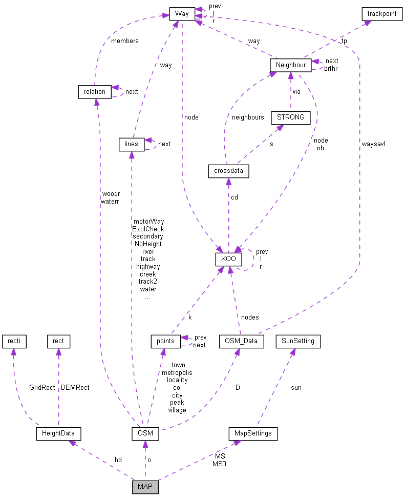
generating maps
generating maps using SRTM3 und btp (imported OSM data) data in mercator projection. The resulting image of the current map is stored in cmap. The drawing routine is located in draw_map() function.
Definition at line 24 of file MAP.h.
 1.8.5
1.8.5

